Welcome to the FourCast! - Ep.1
The Future of the Jobsite: WingtraRAY and The FourCast
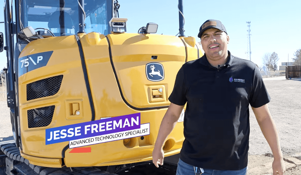
In the rapidly evolving world of construction and surveying, "Precision" is the most valuable currency. On the latest episode of The FourCast, Jesse Freeman, Advanced Technology Specialist at Foursight Solutions, demonstrates why the WingtraRAY Vertical Takeoff and Landing (VTOL) drone is becoming a foundational tool for professionals in 2026.
Foursight Solutions, a division of 4Rivers Equipment, continues to lead the way in bridging the gap between heavy iron and high-level data through their "FourSight" approach to site automation.
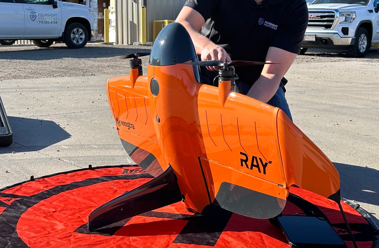
1. The VTOL Advantage: WingtraRAY Setup & Safety
The WingtraRAY represents a significant shift in drone technology. Traditional fixed-wing drones require a runway or a catapult, while standard multicopters lack the speed and range for massive projects. The WingtraRAY offers the best of both worlds:
- Vertical Takeoff and Landing (VTOL): It takes off like a helicopter, allowing for operations in confined spaces or rugged terrain where a runway is impossible.
- Transition to Winged Flight: Once at altitude, it transitions to fixed-wing flight, enabling it to cover up to 1,300 acres in a single hour.
- Safety First: The drone features an autonomous flight system that manages takeoff, the mission route, and landing even in high-wind conditions. For federal projects and work over infrastructure, it even includes a built-in parachute.
2. Survey-Grade Data & Modular Payloads
Data is only as good as its accuracy. Jesse demonstrates how the WingtraRAY achieves survey-grade accuracy within a tenth of a foot through its modular payload system.
Payload Options Include:
- MAP61: Featuring a Sony mapping camera for high-resolution photogrammetry.
- LiDAR: For penetrating dense vegetation to map the true ground surface.
- Multispectral: Ideal for environmental assessments and agricultural health mapping.
- High-Res Inspection: For detailed structural analysis of bridges, towers, and buildings.
3. Workflow & Federal Compliance
The WingtraRAY is Blue-Listed, meaning it meets the stringent security and manufacturing requirements for federal drone work. This makes it the premier choice for infrastructure teams working on government contracts.
The Survey Workflow:
- Flight Planning: Users define a geofence, altitude, and mapping area within the software.
- Autonomous Execution: The drone manages the flight while providing real-time telemetry (battery life, wind speed, flight path).
- Data Processing: Post-flight, the data is processed into 3D point clouds, orthomosaic maps, or digital terrain models (DTMs) that integrate directly into Topcon or John Deere SmartGrade™ systems.
4. About Foursight Solutions: Your Technology Partner
Foursight Solutions isn't just about selling hardware; it's about supporting the entire project lifecycle. As an extension of the 4Rivers Equipment family, they provide:
- Machine Control: Integrating drone data with John Deere excavators and dozers.
- Positioning Tools: Supporting Topcon equipment and software for field layout.
- Training & Demos: The Foursight team provides on-site training to ensure your crew is confident and competent with new technology.
Common Questions About Drone Mapping (FAQ)
Do I need a pilot's license to operate the WingtraRAY? Yes. To operate drones for commercial purposes in the U.S., you must hold an FAA Part 107 Remote Pilot Certificate. Foursight Solutions can provide guidance on the certification process during our training sessions.
How does drone data help with heavy equipment? Drone maps provide "as-built" data that can be compared to the original site plan. This allows project managers to calculate exactly how much dirt has been moved, helping to verify progress and manage quantities for billing.
Can the WingtraRAY handle high-altitude Colorado winds? Absolutely. The WingtraRAY is engineered for stability in the unpredictable winds often found in the Mountain West. Its autonomous landing system is specifically designed to handle gusts that would ground other drones.
Where can I watch "The FourCast"? You can find The FourCast on the official Foursight Solutions and 4Rivers Equipment websites, as well as our social media channels on YouTube and LinkedIn.
Work smarter, not harder. [Contact Foursight Solutions] today to schedule a demo flight and see how the WingtraRAY can transform your surveying and mapping workflows.
EXPERT GUIDE FOLLOW-UP
Are you interested in a Cost-Per-Acre Comparison between drone mapping and traditional ground surveying, or would you like to see how WingtraRAY data integrates with John Deere SmartGrade™ for automatic grading?